

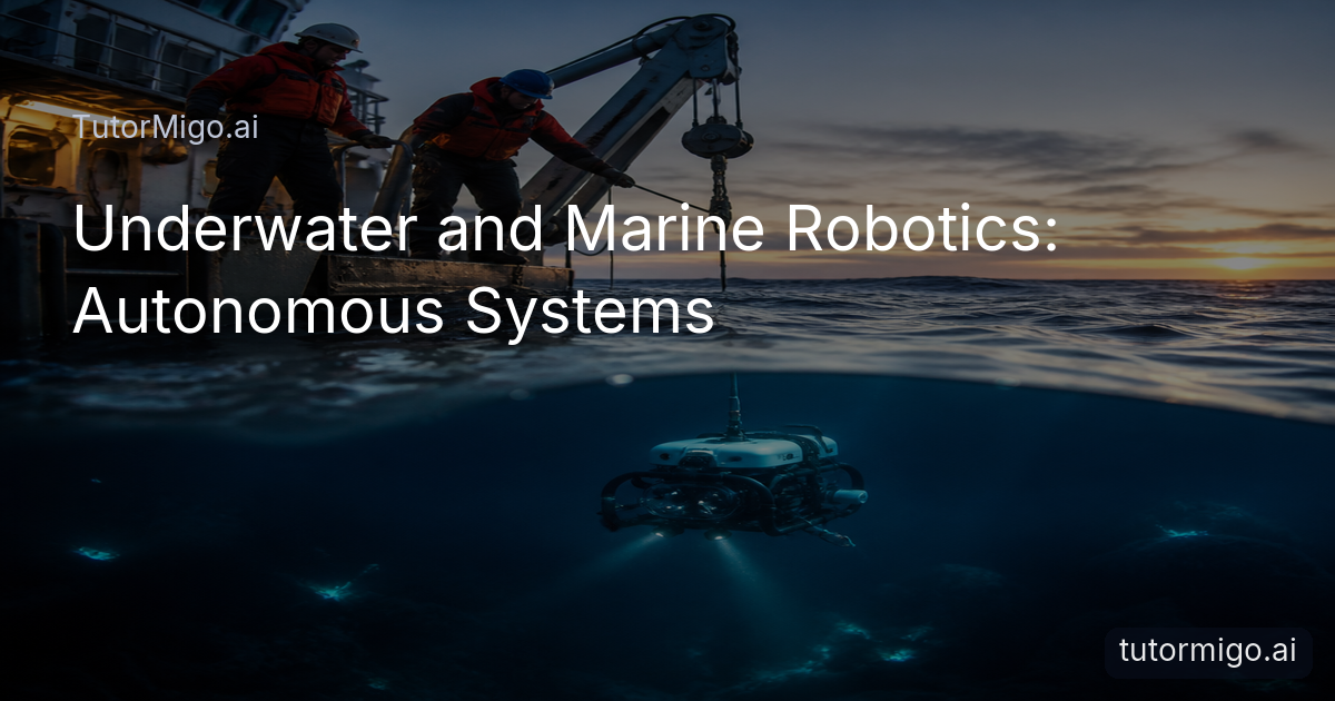
Why Marine Robotics Matters in the Deep
When people need reliable information from dark, cold, high-pressure water, sending a diver is often unsafe or impossible. Underwater and marine robotics: autonomous systems give operators another way to map seafloors, inspect structures, and collect measurements without placing a person in the most hazardous part of the mission. A vehicle can work below the depth limits of ordinary diving, follow a programmed route, and return with photographs, sonar data, or water samples.
Two broad designs cover much of this work. An autonomous underwater vehicle, or AUV, carries its own power and follows onboard instructions without a continuous physical connection to the surface. A remotely operated vehicle, or ROV, receives commands and power through an umbilical cable linked to a support vessel. That difference shapes the entire operation. An AUV is useful when you want broad-area surveys with minimal surface intervention. An ROV is valuable when you need live video, precise manipulation, or an operator’s judgment at the work site.
The practical goal is not to make one vehicle do everything. It is to match the vehicle, sensors, and mission plan to the environment and the decision you need to make.
How AUVs navigate without a pilot
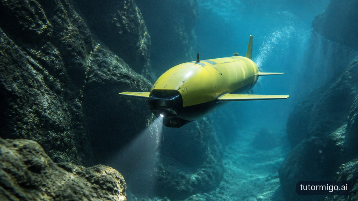
An AUV must estimate its position while traveling through water where satellite navigation signals do not reach. Before launch, a team may load a route made of waypoints, depth targets, speed limits, and actions such as taking a sonar scan every few seconds. Once submerged, the vehicle combines instruments such as inertial sensors, depth sensors, compasses, Doppler velocity logs, and acoustic positioning systems to estimate where it is.
Navigation is difficult because currents can push the vehicle away from its planned track. A mission team may therefore choose a conservative speed and design overlapping survey lines. If an AUV is mapping a suspected landslide zone, for example, the route can be arranged like a lawn-mower pattern so adjacent sonar passes create a continuous picture rather than isolated strips. The vehicle may also surface at planned intervals to transmit status data and obtain a satellite position fix.
Autonomy does not mean the machine operates without limits. Engineers set rules for low battery, excessive tilt, lost navigation, rising temperature, or unexpected depth. A safe abort command might tell the AUV to stop surveying, climb to a specified depth, and release a locator beacon. Careful planning turns autonomy from a slogan into a controlled set of decisions.
Why ROVs remain essential for hands-on work
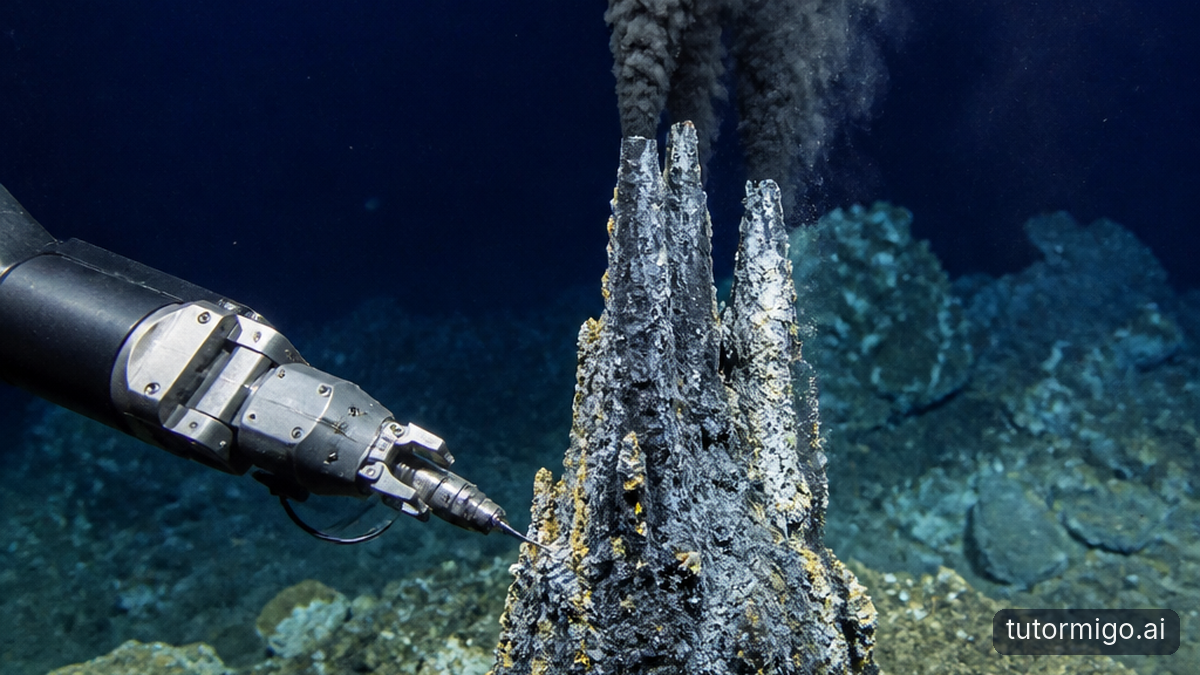
An ROV is tethered to the surface by an umbilical that can carry electrical power, control signals, video, and sensor data. The cable limits how freely the vehicle can travel, but it gives the crew a live connection to the underwater scene. That makes ROVs especially useful when a technician must inspect a weld, turn a valve, retrieve an object, or guide a tool into a precise position.
A typical work-class ROV may use multiple thrusters to hold its position against current. High-definition cameras and powerful lights help operators see, while sonar provides an outline when sediment, darkness, or bubbles block the view. Manipulator arms can grip tools or samples, but they do not feel exactly like a human hand. Operators rely on cameras, force feedback, vehicle movement, and repeated small adjustments.
Consider a subsea pipeline inspection. The ROV can travel along the pipe while the crew watches for coating damage, exposed supports, or unusual movement. If the inspection reveals a problem, the same deployment may support measurement or intervention. The surface connection also lets supervisors respond to new evidence immediately, an advantage that a fully autonomous survey vehicle usually cannot match.
Building for pressure, darkness, and corrosion
Depth adds pressure rapidly, and that pressure affects every housing, connector, seal, cable, and camera window. A vehicle designed for shallow coastal work may fail far below the surface even if its electronics seem suitable. Deep-rated systems protect sensitive components with pressure-resistant housings, oil-filled compartments, or other designs that prevent surrounding water from crushing or entering critical equipment.
Low visibility creates a second problem. Lights can illuminate only a limited area, and suspended sediment may reflect the beam back into the camera. Sonar becomes essential because it can detect shapes and distances when optical images are poor. A crew inspecting a wreck may use multibeam or imaging sonar to establish the structure’s outline, then bring the camera closer for identifying details.
Salt water also accelerates corrosion, particularly around connectors, fasteners, and dissimilar metals. After a mission, teams rinse vehicles with fresh water, inspect seals, dry connectors, and record any damage. Batteries require their own safety procedures, while buoyancy materials must be checked for water absorption and changes in lift. Reliability comes from maintenance discipline as much as from sophisticated electronics. A small damaged connector discovered on deck is far easier to fix than one found after a vehicle stops responding at depth.
Where marine robots deliver useful data
Oceanographic researchers use AUVs to measure temperature, salinity, dissolved oxygen, currents, and water chemistry across areas too large for a ship to sample point by point. A vehicle moving close to the seafloor can map habitats, identify geological features, or document changes around an underwater volcano. Because it can follow the terrain, it may collect higher-resolution data than a sensor lowered vertically from the surface.
ROVs are central to deep-sea observation and infrastructure work. Scientists use them to collect biological specimens without disturbing the surrounding area more than necessary. Energy and telecommunications operators use them to inspect subsea pipelines, cables, anchors, and other structures. An ROV can record video evidence, take measurements, and support repairs while the vessel remains on the surface.
Environmental monitoring benefits from both vehicle types. An AUV might survey a wide region for an algal bloom or map seafloor contamination. An ROV could then investigate selected locations, collect samples, and document the condition of a sensitive habitat. The strongest projects connect the data to a clear decision: whether a cable route is safe, whether a protected area is changing, or where a follow-up sample should be collected. More data is not automatically better if it cannot answer a defined question.
How to plan a capable underwater mission
Start with the task, not the vehicle. If you need a broad map over many square kilometers, an AUV with side-scan sonar or a multibeam system may be the better fit. If you need live inspection, tool use, or sample collection, an ROV is usually more appropriate. Depth, current speed, water temperature, visibility, seabed type, and launch-site logistics can eliminate otherwise attractive options.
Next, define what counts as a successful mission. For an infrastructure inspection, that might mean complete visual coverage of a cable segment, georeferenced images, and measurements of identified defects. For environmental research, it could mean a calibrated sensor record with known depth and time. These requirements determine the sensors, navigation aids, storage capacity, and staffing needed on the vessel.
Build recovery into the plan before launch. Check weather and sea state, confirm communication procedures, test batteries and pressure housings, and establish what the crew will do if navigation data becomes unreliable. Keep a record of calibration and maintenance so later analysts can judge data quality. After recovery, back up raw files before processing, compare vehicle logs with mission objectives, and note gaps rather than hiding them. A well-planned mission produces trustworthy evidence, not merely impressive underwater footage.
Frequently asked questions
An AUV operates without a physical connection to the surface and follows a programmed mission. An ROV is connected to a support vessel by an umbilical, allowing live control, power, video, and often tool operation.
Yes. Cameras need artificial lighting, but sonar can detect objects and terrain when visibility is extremely poor or there is no ambient light. Many missions combine sonar with cameras rather than relying on either one alone.
They combine sensors such as inertial measurement units, depth sensors, compasses, Doppler velocity logs, and acoustic positioning. Some also surface at planned intervals to obtain a satellite position fix.
Teams should verify pressure ratings, seals, connectors, batteries, buoyancy, navigation, communications, sensor calibration, recovery procedures, weather, and the mission’s success criteria before launch.
Related reading
Related reading
Related reading
Related reading
Enjoyed this read?
Like, share, or comment below.



Comments
0Sign in required · respectful discussion · replies supported
Loading comments…